Tag: Pix4d
(Español) Vídeo Tutorial: Resultados del vuelo inicial con el Phantom 4 RTK
October 29, 2018
Sorry, this entry is only available in Español, Español Perú, Español Colombia, Español Panamá and Português.
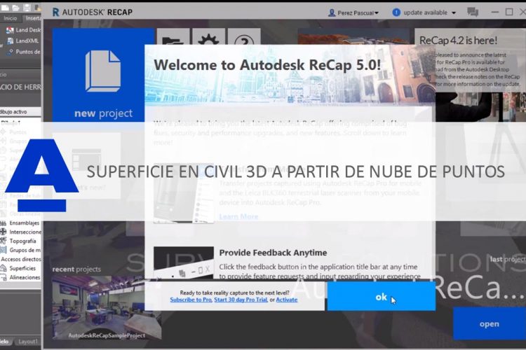
[ Read More ](Español) Cómo crear una superficie en Civil 3D 2019 a partir de una nube de puntos generada en Pix4D
August 31, 2018
Sorry, this entry is only available in Español, Español Perú, Español Colombia and Español Panamá.
[ Read More ](Español) Ciudades inteligentes: Mapeado con dron y Pix4D
July 6, 2018
Sorry, this entry is only available in Español, Español Perú, Español Colombia and Español Panamá.
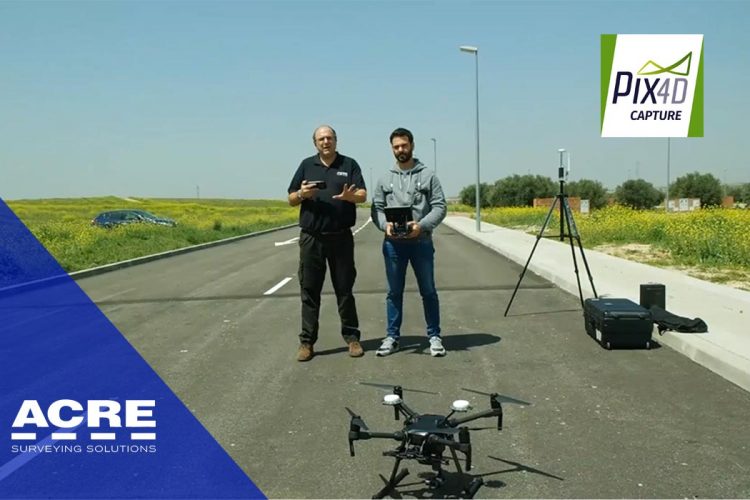
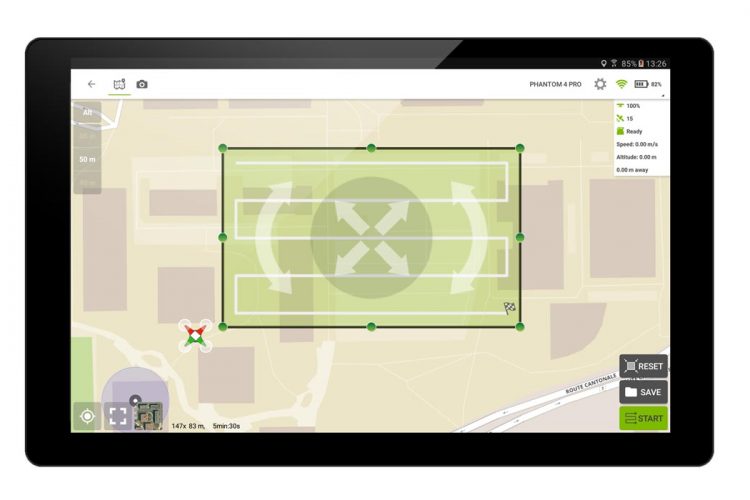
[ Read More ](Español) Demostración plan de vuelo con Pix4D Capture y dron DJI Matrice 210 RTK
May 7, 2018
Sorry, this entry is only available in Español, Español Perú, Español Colombia and Español Panamá.
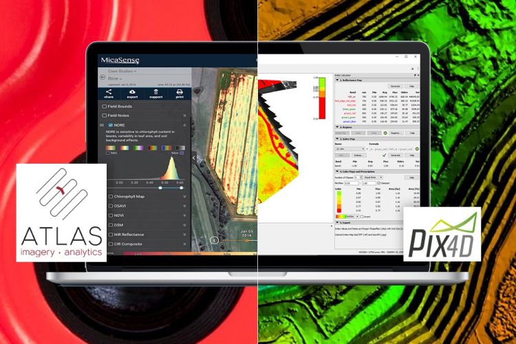
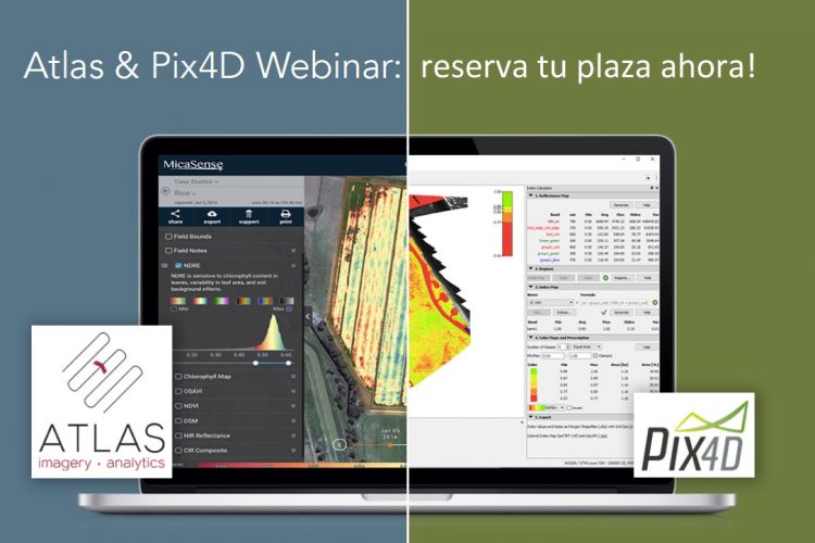
[ Read More ](Español) Procesado de imágenes multiespectrales con Pix4D y ATLAS
December 12, 2017
Sorry, this entry is only available in Español, Español Perú, Español Colombia and Español Panamá.
[ Read More ](Español) Concurso modelado 3D Pix4D
November 7, 2017
Sorry, this entry is only available in Español, Español Perú, Español Colombia and Español Panamá.
[ Read More ](Español) Webinar: Cargar mapas de reflectancia de Pix4d en Atlas
September 5, 2017
Sorry, this entry is only available in Español, Español Perú, Español Colombia and Español Panamá.
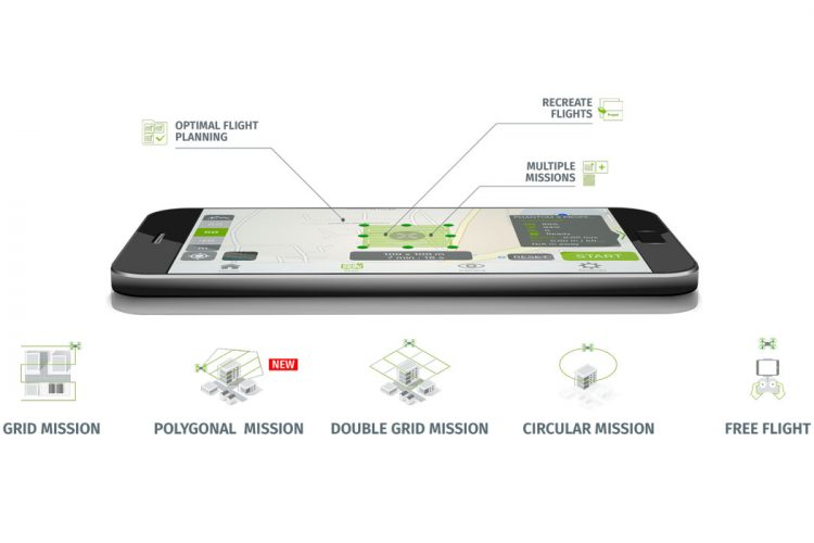
[ Read More ](Español) Cómo guardar planes de vuelo en iOS con Pix4DCapture
August 9, 2017
Sorry, this entry is only available in Español, Español Perú, Español Colombia and Español Panamá.
[ Read More ](Español) Planificación de vuelo desde un KML de Google Earth en Pix4D Capture
July 18, 2017
Sorry, this entry is only available in Español, Español Colombia and Español Panamá.
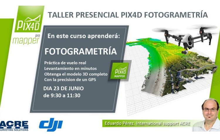
[ Read More ]Taller gratuito ACRE PIX4D Fotogrametría con Dron
June 8, 2017
Taller presencial gratuito fotogrametría con dron en Pix4D
[ Read More ]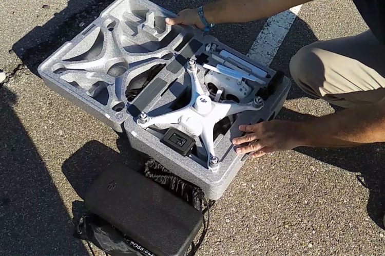


Recent Comments