Category:
(Español) Rehabilitación con láser escáner en el centro histórico de Toledo
May 13, 2022
Sorry, this entry is only available in Español.
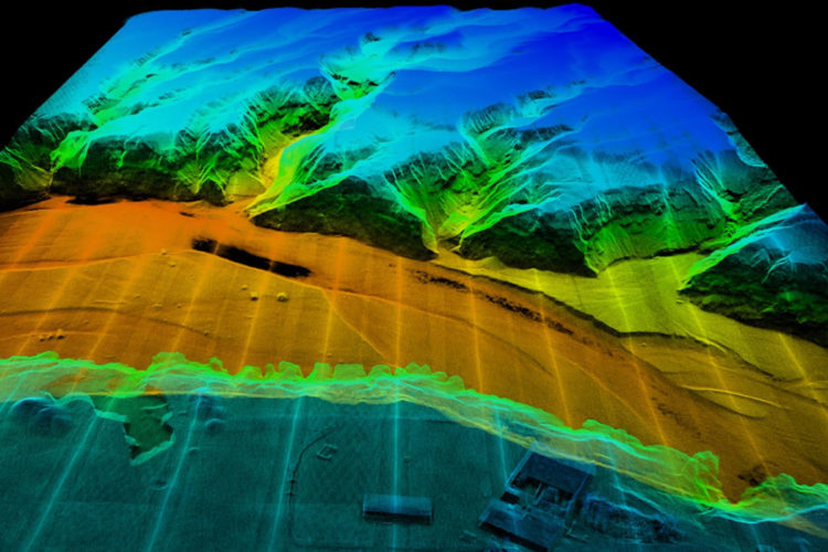
[ Read More ](Español) Nubes de puntos: Diferencias entre LiDAR y fotogrametría
May 9, 2022
Sorry, this entry is only available in Español, Español Perú, Español Colombia, Español Panamá and Português.
[ Read More ](Español) Nueva actualización del software PIX4Dmatic 1.27
May 5, 2022
Sorry, this entry is only available in Español, Español Perú, Español Colombia, Español Panamá and Português.
[ Read More ](Español) Comparativa de escaneados: BLK2GO y RTC 360 Escuela Técnica Superior de Edificación
April 19, 2022
Sorry, this entry is only available in Español, Español Perú, Español Colombia, Español Panamá and Português.
[ Read More ](Español) Monitoreo y auscultación inalámbrica FlatMesh y GeoWAN
March 23, 2022
Sorry, this entry is only available in Español, Español Perú, Español Colombia and Español Panamá.
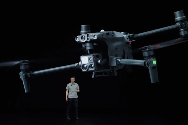
[ Read More ](Español) DJI presenta el dron Matrice series 30 y un conjunto de soluciones profesionales revolucionarias
March 22, 2022
Sorry, this entry is only available in Español, Español Perú, Español Colombia, Español Panamá and Português.
[ Read More ](Español Perú) 22 mejores características de BricsCAD® V22.2
March 21, 2022
Sorry, this entry is only available in Español Perú, Español Colombia, Español Panamá and Español México.
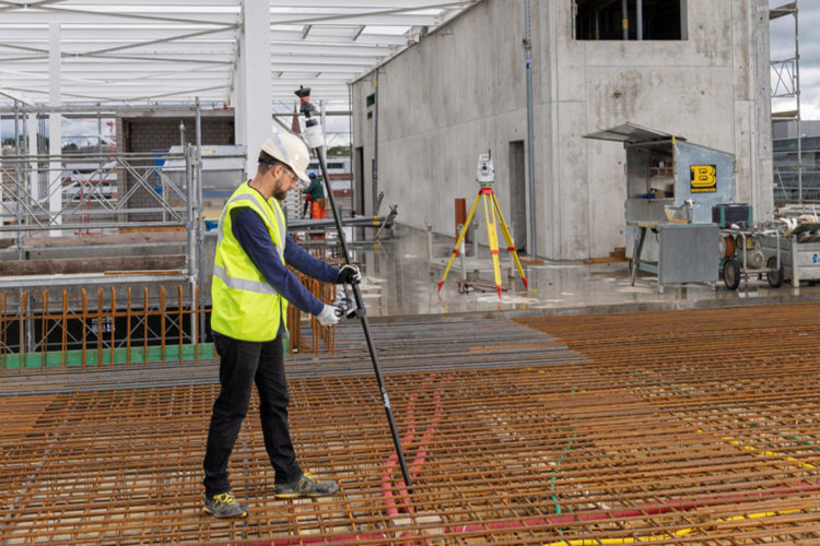
[ Read More ](Español) Nuevo accesorio para estaciones robotizadas AP20 AutoPole
March 15, 2022
Sorry, this entry is only available in Español, Español Perú, Español Colombia, Español Panamá and Português.
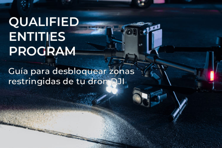
[ Read More ](Español) Guía para desbloquear zonas restringidas de tu dron DJI
March 8, 2022
Sorry, this entry is only available in Español and Português.
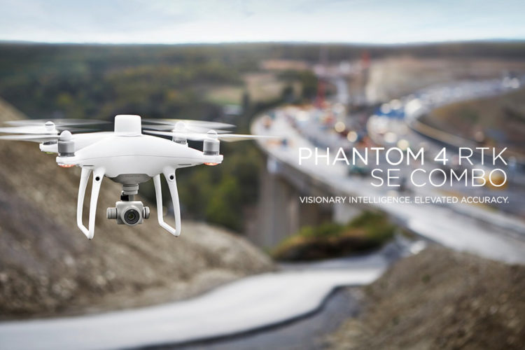
[ Read More ](Español) ¿Por qué usar un dron para topografía? Phantom 4 RTK SE Combo
March 7, 2022
Sorry, this entry is only available in Español, Español Perú, Español Colombia, Español Panamá and Português.
[ Read More ]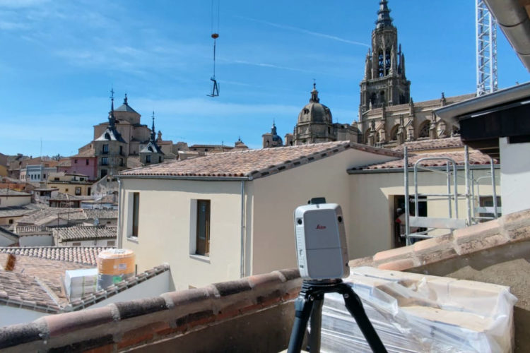
Recent Comments