Category:
(Español) Pix4DCapture: Cámaras y drones compatibles
December 27, 2018
Sorry, this entry is only available in Español.
[ Read More ](Español) DJI MAVIC 2 Enterprise: El dron profesional para industria, búsqueda y rescate
November 6, 2018
Sorry, this entry is only available in Español, Español Perú, Español Colombia, Español Panamá and Português.
[ Read More ](Español) Vídeo Tutorial: Resultados del vuelo inicial con el Phantom 4 RTK
October 29, 2018
Sorry, this entry is only available in Español, Español Perú, Español Colombia, Español Panamá and Português.
[ Read More ](Español) Nuevas estaciones totales manuales Leica Flexline TS03, TS07 y TS10
October 22, 2018
Sorry, this entry is only available in Español, Español Perú, Español Colombia, Español Panamá and Português.
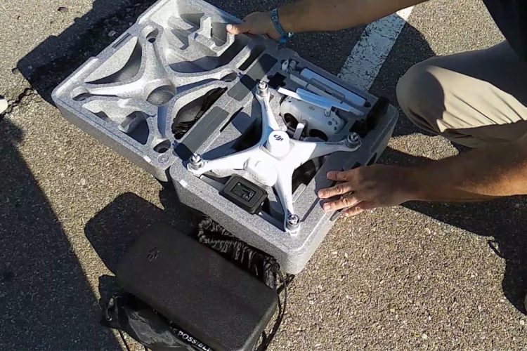
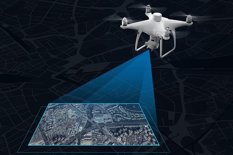
[ Read More ](Español) Phantom 4 RTK. El nuevo dron DJI para topografía
October 15, 2018
Sorry, this entry is only available in Español, Español Perú, Español Colombia, Español Panamá and Português.
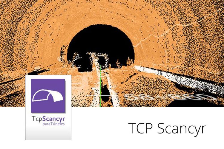
[ Read More ](Español) Verificación de perfil de túnel con TCP SCANCYR
October 9, 2018
Sorry, this entry is only available in Español, Español Perú, Español Colombia, Español Panamá and Português.
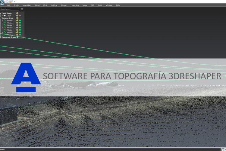
[ Read More ](Español) Descubra las aplicaciones topográficas de 3DReshaper
September 3, 2018
Sorry, this entry is only available in Español and Español Panamá.
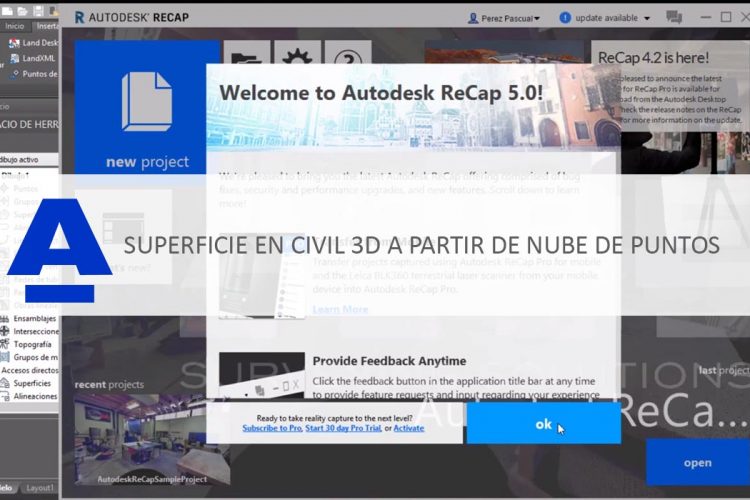
[ Read More ](Español) Cómo crear una superficie en Civil 3D 2019 a partir de una nube de puntos generada en Pix4D
August 31, 2018
Sorry, this entry is only available in Español, Español Perú, Español Colombia and Español Panamá.
[ Read More ](Español Perú) Levantamiento digital de Ayacucho con mobile mapping
August 21, 2018
Sorry, this entry is only available in Español Perú.
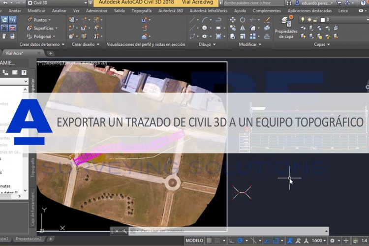
[ Read More ](Español) Cómo exportar un trazado de Civil 3D a un equipo topográfico Leica
August 20, 2018
Sorry, this entry is only available in Español, Español Perú, Español Colombia and Español Panamá.
[ Read More ]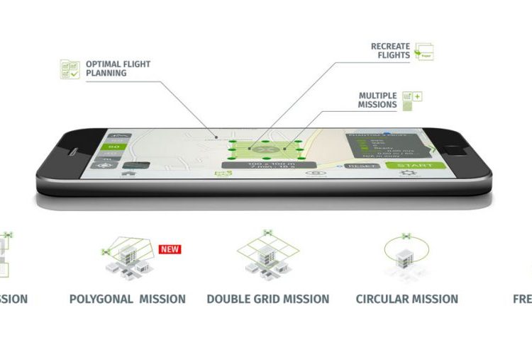



Recent Comments