Category:
(Español) Servicio WMS y otras mejoras de Leica Captivate V4.5
July 1, 2019
Sorry, this entry is only available in Español, Español Perú, Español Panamá and Português.
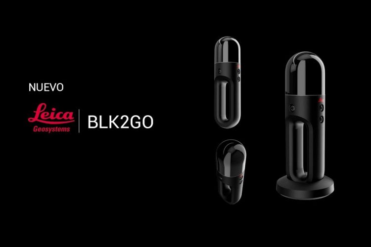
[ Read More ](Español) Leica BLK2GO Y BLK247 La nueva revolución de la captura de la realidad de Leica Geosystems
June 18, 2019
Sorry, this entry is only available in Español, Español Perú, Español Panamá and Português.
[ Read More ](Español) Leica Geosystems: Equipos topográficos de la marca líder
June 3, 2019
Sorry, this entry is only available in Español.
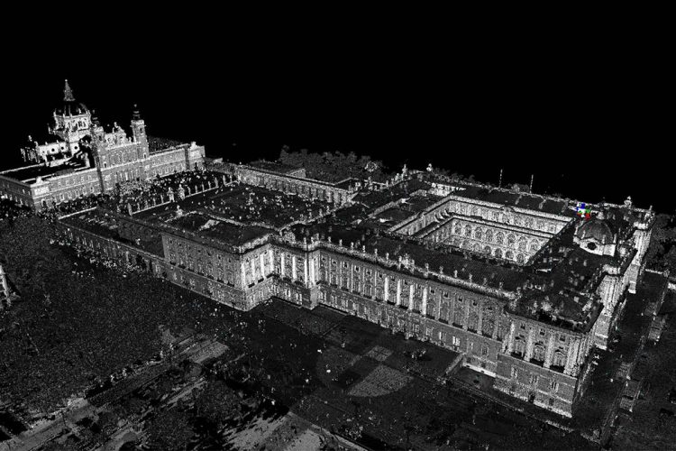
[ Read More ](Español) El uso del láser escáner en la digitalización del patrimonio
May 9, 2019
Sorry, this entry is only available in Español, Español Perú and Español Panamá.
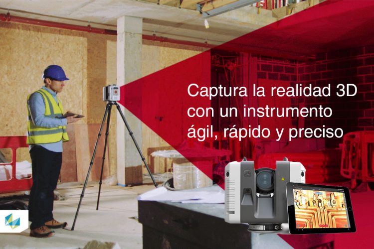
[ Read More ](Español) ¿Qué es la captura de la realidad 3D con láser escáner?
May 3, 2019
Sorry, this entry is only available in Español.
[ Read More ](Español) Promoción Grupo ACRE: Plan renueva tu GNSS
January 31, 2019
Sorry, this entry is only available in Español, Español Perú, Español Colombia, Español Panamá and Português.
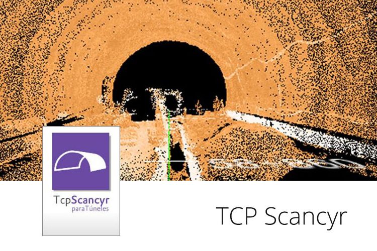
[ Read More ](Español) Verificación de perfil de túnel con TCP SCANCYR
October 9, 2018
Sorry, this entry is only available in Español, Español Perú, Español Colombia, Español Panamá and Português.
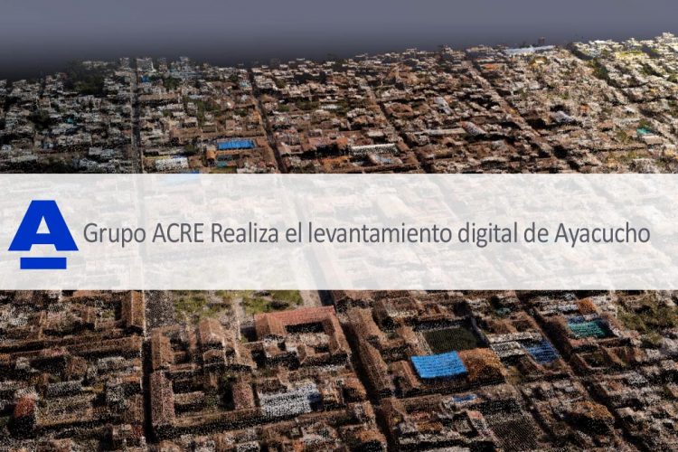
[ Read More ](Español Perú) Levantamiento digital de Ayacucho con mobile mapping
August 21, 2018
Sorry, this entry is only available in Español Perú.
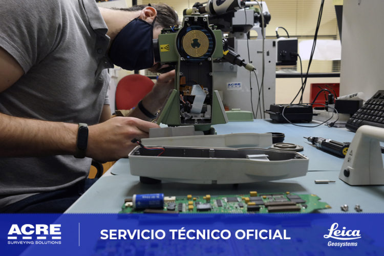
[ Read More ](Español) Precisión, fiabilidad y garantía. Las ventajas de contar con un Servicio Técnico Oficial Leica Geosystems
July 17, 2018
Sorry, this entry is only available in Español, Español Colombia and Español Panamá.
[ Read More ](Español) Ciudades inteligentes: Mapeado con dron y Pix4D
July 6, 2018
Sorry, this entry is only available in Español, Español Perú, Español Colombia and Español Panamá.
[ Read More ]

Recent Comments