42 Search Results for: pix4d
(Español) Ortomosaicos más rápidos y malla mejorada con PIX4Dmatic 1.31
July 29, 2022
Sorry, this entry is only available in Español, Español Perú and Português.
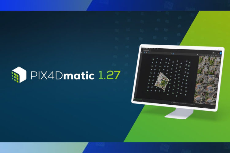
[ Read More ](Español) Nueva actualización del software PIX4Dmatic 1.27
May 5, 2022
Sorry, this entry is only available in Español, Español Perú, Español Colombia, Español Panamá and Português.
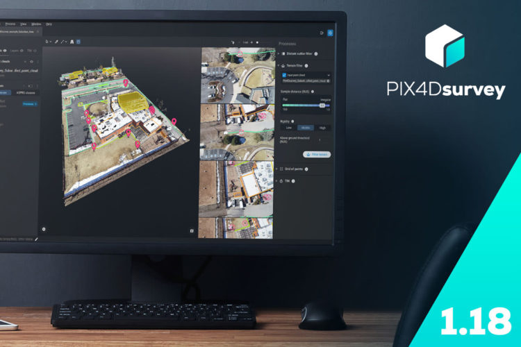
[ Read More ](Español) Mida volúmenes desde dron con Pix4Dsurvey
November 12, 2021
Sorry, this entry is only available in Español, Español Perú, Español Colombia, Español Panamá and Português.
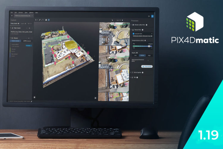
[ Read More ](Español) Combine Fotogrametría y LiDAR con Pix4DMatic
October 5, 2021
Sorry, this entry is only available in Español, Español Perú, Español Colombia, Español Panamá, Português and Español México.
[ Read More ](Español) Pix4Dsurvey: Exporte mediciones fotogramétricas a CAD
April 2, 2020
Sorry, this entry is only available in Español, Español Perú, Español Colombia, Español Panamá and Português.
[ Read More ](Español) Mapas para repuestas de emergencia en catástrofes. Pix4Dreact
October 28, 2019
Sorry, this entry is only available in Español, Español Perú and Português.
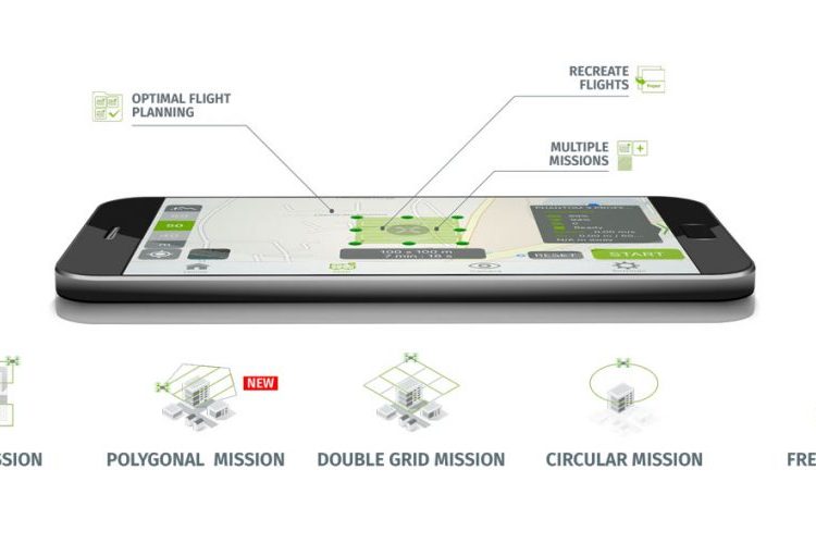
[ Read More ](Español) Pix4DCapture: Cámaras y drones compatibles
December 27, 2018
Sorry, this entry is only available in Español.
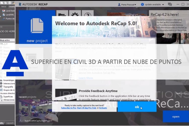
[ Read More ](Español) Cómo crear una superficie en Civil 3D 2019 a partir de una nube de puntos generada en Pix4D
August 31, 2018
Sorry, this entry is only available in Español, Español Perú, Español Colombia and Español Panamá.
[ Read More ](Español) Ciudades inteligentes: Mapeado con dron y Pix4D
July 6, 2018
Sorry, this entry is only available in Español, Español Perú, Español Colombia and Español Panamá.
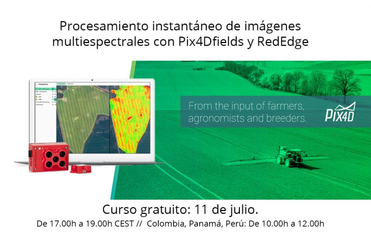
[ Read More ](Español) Webinar Pix4DFields y Micasense RedEdge
June 29, 2018
Sorry, this entry is only available in Español, Español Perú, Español Colombia and Español Panamá.
[ Read More ]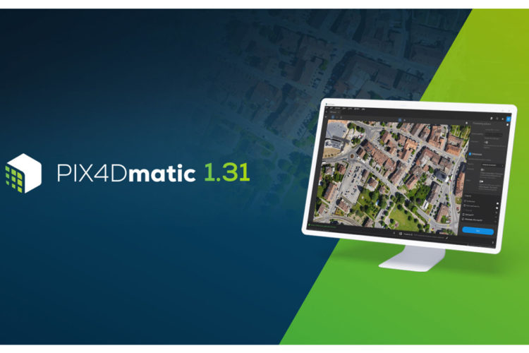


Recent Comments